01
Data Layer
Integrates Earth, climate, urban and local data.

An urban climate intelligence system built for decisions.
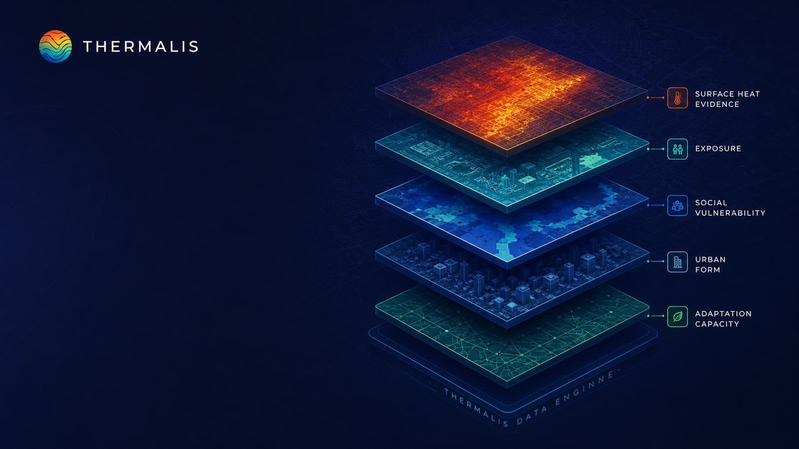
THERMALIS connects Earth observation, climate, urban and local evidence with spatial analytics and decision-ready planning outputs.
Integrates Earth, climate, urban and local data.
Cleans, aligns and validates inputs.
Produces comparable place-based evidence.
Examines people and assets in risk context.
Compares changing conditions and pathways.
Delivers maps, profiles and priorities.
Identify and validate evidence.
Align sources in a common spatial frame.
Analyse city conditions and risks.
Examine changing assumptions.
Reveal priority places.
Support planning with evidence.

Surface and land evidence.
Multi-year climate signals.
.png&w=3840&q=75)
Spatial terrain context.
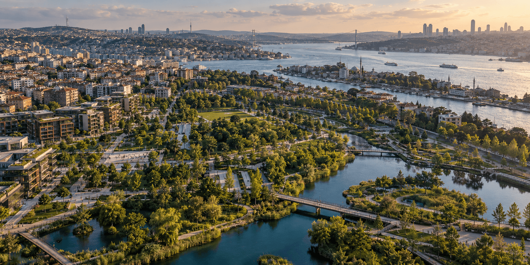
Surface and green space.

Urban form and assets.

Population and social context.

City-specific inputs.
Reveal priority areas.

Compare system components.
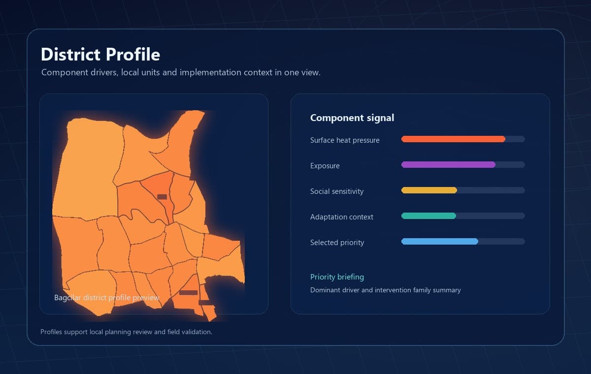
Explain local patterns.
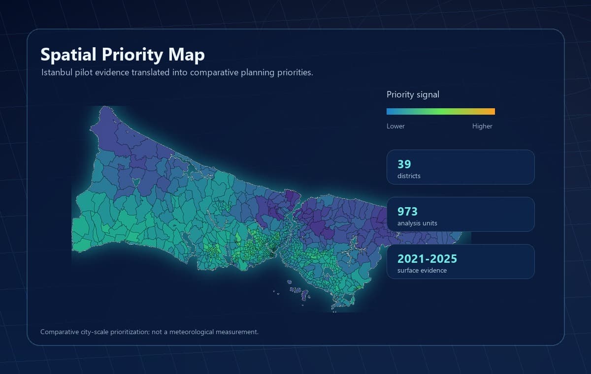
Local decision evidence.
Compare alternative assumptions.
Map and table deliverables.
Identify risk areas and response options.
Guide resources with evidence.
Bring place-based findings into plans.
Build a traceable decision base.
Bring climate evidence into real city decisions.