Scientific grounding
Grounded in established methods and validated data contracts.

Scientific, explainable and reproducible urban climate intelligence.
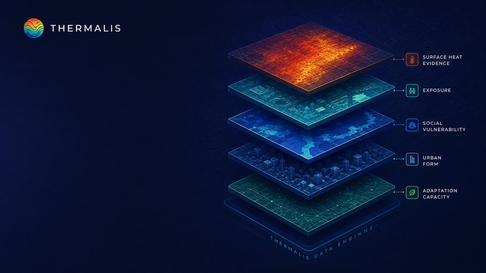
THERMALIS combines Earth observation, climate science and urban data with quality controls to produce traceable spatial decision evidence.
Grounded in established methods and validated data contracts.
Sources, conditions and limitations remain visible.
Components adapt to different city and risk contexts.
Consistent identities and indicator definitions are used.
Analysis links to local planning questions.
Identify sources.
Clean and align.
Prepare component evidence.
Assess spatial conditions.
Identify priority places.
Compare assumptions.
Deliver maps and tables.

Surface and land evidence.
Multi-year climate records.
.png&w=3840&q=75)
Topographic context.
Vegetation and surfaces.

Built environment data.

Social context.
City institution inputs.
Climate-related pressure.
People and places at risk.
Response and resilience context.
Comparable planning output.
Input and output validation.
Communicate assumptions and limits.
Project context and traceability.
Explain how decisions are formed.
Bring climate evidence into real city decisions.