

Municipalities
Local climate planning and risk reduction.

Climate intelligence for real city decisions.
THERMALIS supports municipalities, metropolitan organisations and research partners with place-based evidence, analysis and decision outputs.
Local climate planning and risk reduction.
Metropolitan coordination.

Connect spatial evidence to plans.

Translate indicators into action.

Method and application collaboration.
.png&w=3840&q=75)
Spatial priorities.
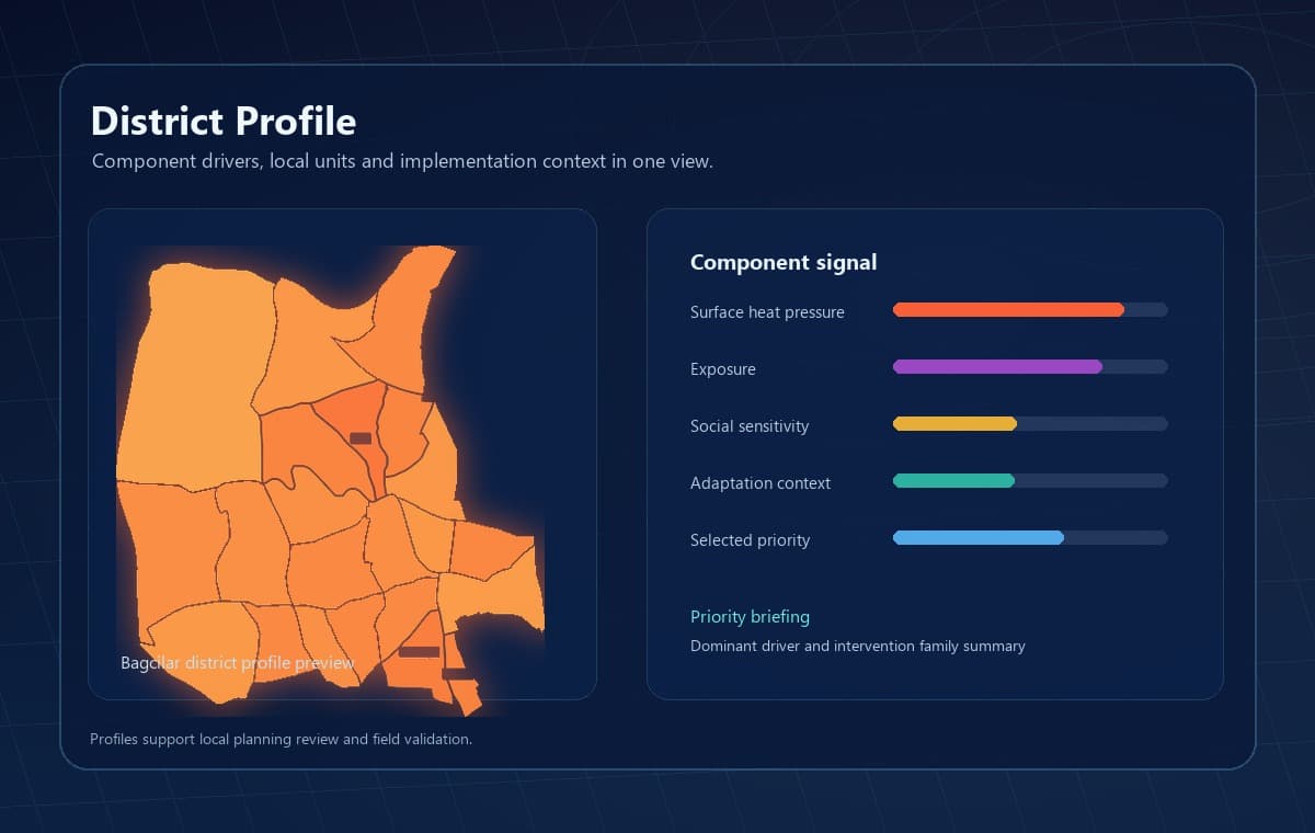
Local driver summaries.
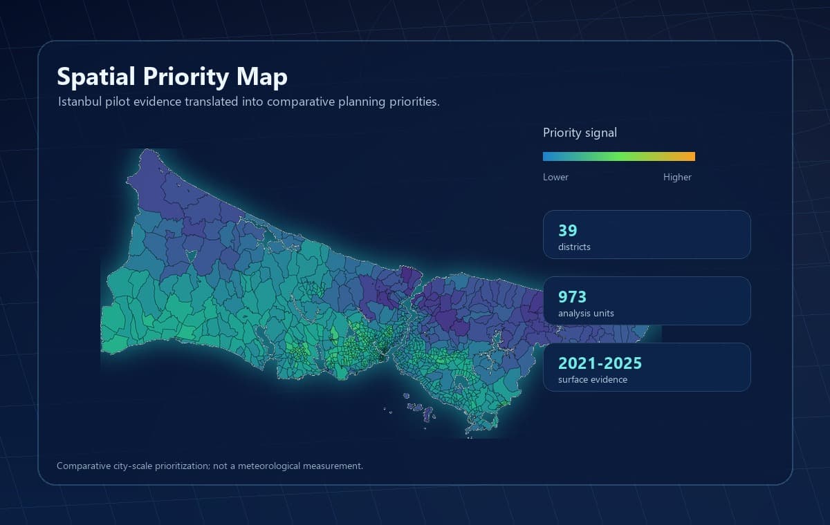
Neighbourhood-scale insight.
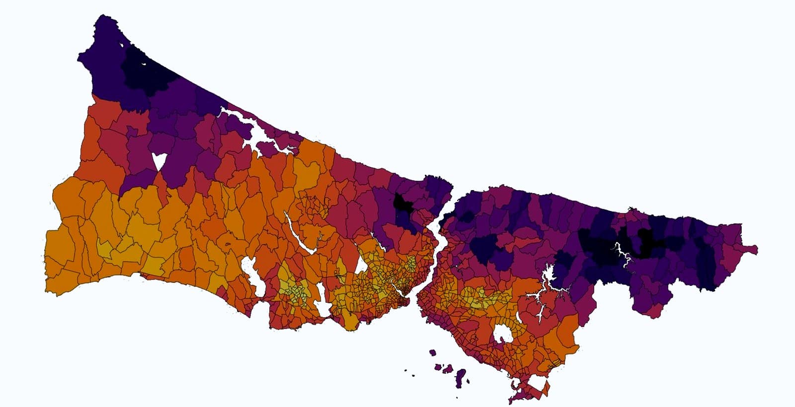
Interactive exploration.
Evidence aligned with decisions.
Map and table deliverables.
Combines city data with open and satellite evidence.
Provides a starting analysis where suitable data exist.
Defines scope with city and research partners.
Define the planning question.
Align evidence sources.
Produce spatial findings.
Deliver maps and profiles.
Connect findings to action.

Assess heat pressure and affected places.
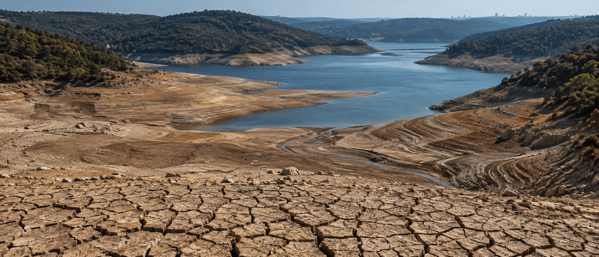
Assess water stress context.
Assess place-based options.
Identify intervention areas.
Support resource decisions.
Connect evidence to long-term plans.
Bring climate evidence into real city decisions.